

However, in the Greater Banjul and Kombo areas (Senegambia, Kololi, Kotu, Bakau, Fajara, Kanifing), many places are now searchable on Google Maps and have digital pins.
Still, when you ask for directions in real life, most people will guide you using areas and landmarks.
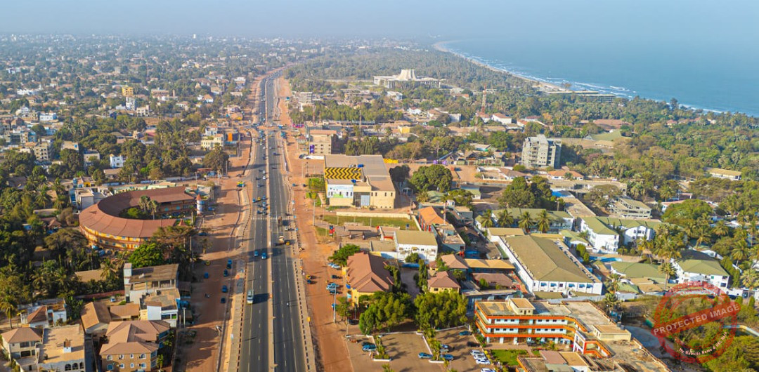
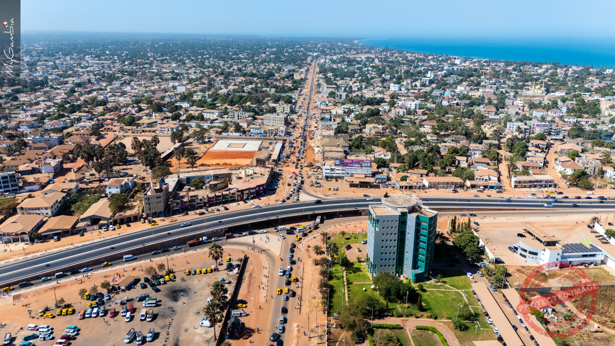
Always confirm the neighbourhood first. Common area names include Bijilo, Senegambia, Kololi, Kotu, Bakau, Fajara, Banjul, Kanifing, Serrekunda, Brikama, Bundung, Talinding, Old Jeshwang, Tabokoto, Brufut, etc. Knowing the area quickly narrows down where you’re going.
Directions in The Gambia are typically built around recognizable reference points such as:
A typical direction might sound like:
“From Westfield, go towards Serrekunda Market, pass the big mosque and the petrol station, then turn at the roundabout near the big tree.”

The Gambia is modernising quickly, but the landmark system remains the most reliable way to move around. Learn a few key areas and reference points and you’ll navigate confidently in no time.
Think digitally, but navigate locally.


Typically replies within 30 minutes
We will be back soon.


